We are experts in extracting insights from remote sensing data based on machine learning models, participate in remote research-related research and regularly give presentation about the topic.
Talk with Sr. Machine Learning Scientist Marty Oelschläger (PhD) about your remote sensing projects.
Pretraining AI models for earth observation: transfer-learning and meta-learning
Jan Macdonald (PhD)
May 31st, 2024
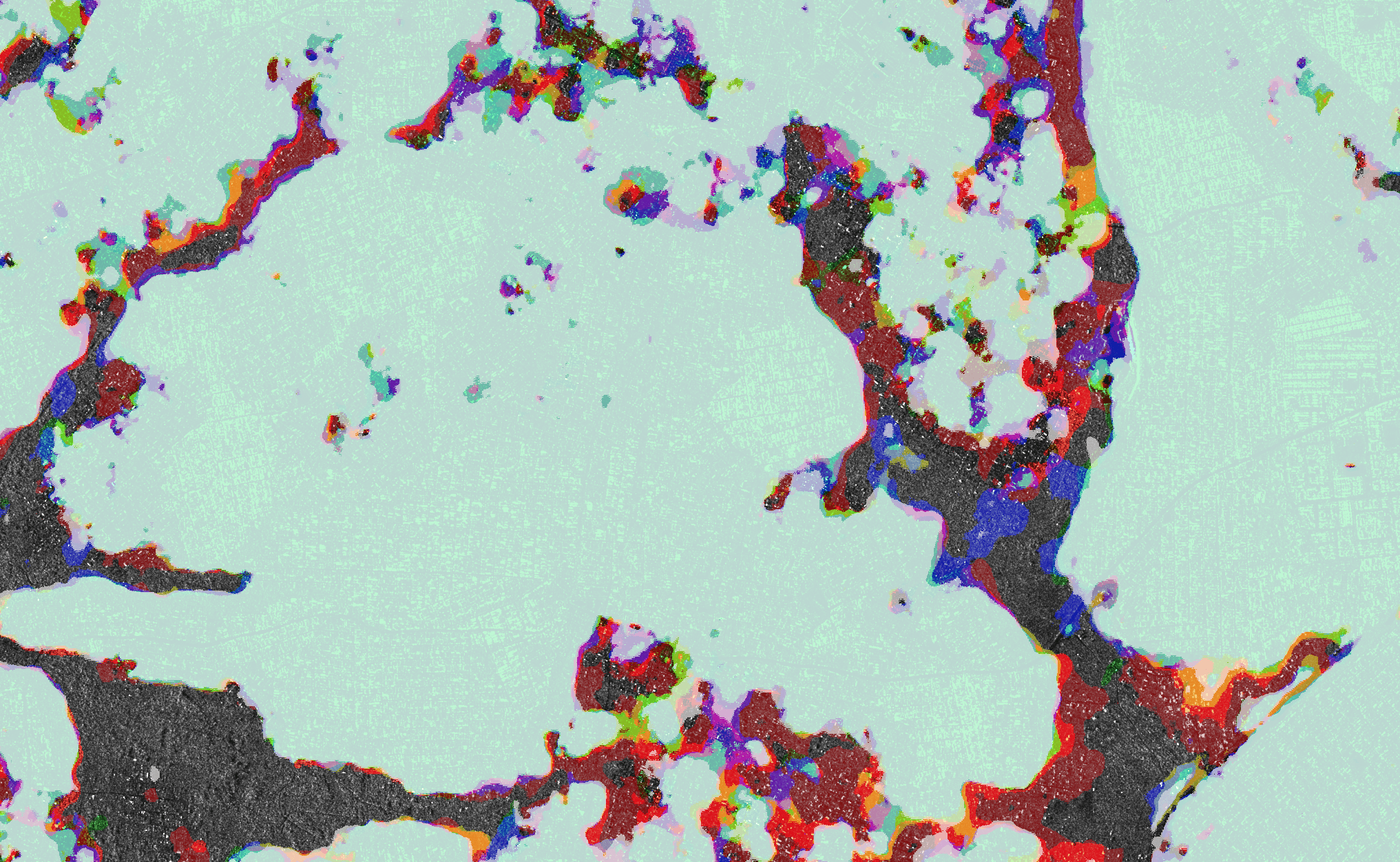
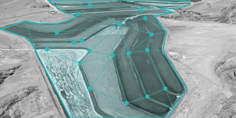
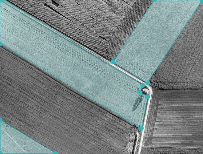
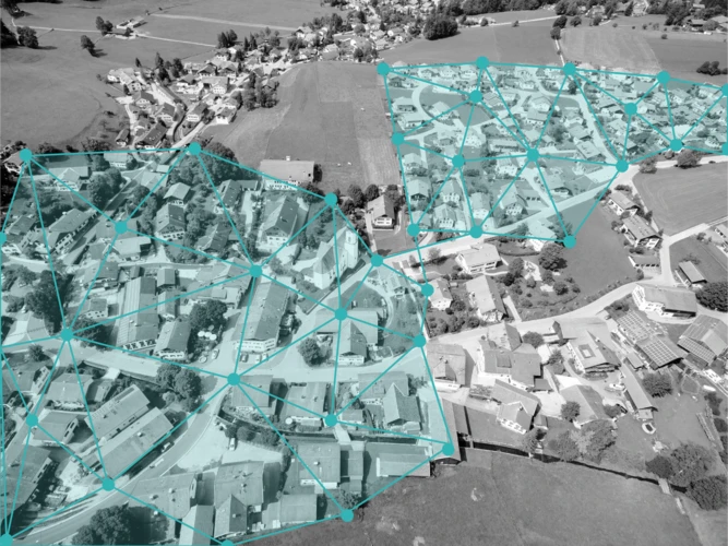
Pretraining involves training an AI model on a large dataset to learn general features, which can then be finetuned on specific tasks with smaller datasets. This decreases the need for time intensive dataset acquisition and training efforts for each new use case, reducing the costs of application development. While pretrained models are widely used in computer vision and natural language processing, their adoption for satellite data and earth observation applications remains limited. Our investigation focuses on comparing the capabilities of transfer-learning and meta-learning approaches for the pretraining of AI models in earth observation tasks, particularly crop type classification, and their potential to generalize insights across different geographical regions.
dida talks
William Clemens (PhD)
Detecting Convective Clouds in Geostationary Satellite
William Clemens (PhD)
February 26th, 2020
Detecting convective clouds is crucial for weather forecasting and climate studies. In his work, William Clemens (PhD), a Machine Learning Scientist at dida, leverages Convolutional Neural Networks (CNNs) to analyze geostationary satellite data for this purpose. CNNs are particularly adept at image recognition tasks, making them suitable for identifying the complex patterns and structures characteristic of convective clouds. Clemens's approach likely involves training the CNNs on large datasets of satellite imagery labeled with the presence of convective clouds, enabling the model to learn the distinguishing features of these clouds.
dida talks
Moritz Besser
Jona Welsch
ML for Remote Sensing: Analyse satellite data automatically
Moritz Besser and
Jona Welsch
December 6th, 2021
The availability of Remote Sensing data and especially satellite data has seen a strong increase in the last years. With increasing data volumes, manual evaluation of these data becomes less efficient. Machine Learning methods are predestined to bridge this gap between data availability and need for evaluation expertise, making it possible for a larger user group to extract information from satellite data and apply this information in an enterprise context. In the upcoming webinar, Moritz Besser (Machine Learning Consultant) and Jona Welsch (Machine Learning Project Lead) will give an overview of the different types of available satellite data, Machine Learning methods used for their evaluation, as well as practical use cases.


.jpg)


.png)