ML for Remote Sensing: Analyse satellite data automatically
Moritz Besser and
Jona Welsch
The availability of Remote Sensing data and especially satellite data has seen a strong increase in the last years. With increasing data volumes, manual evaluation of these data becomes less efficient. Machine Learning methods are predestined to bridge this gap between data availability and need for evaluation expertise, making it possible for a larger user group to extract information from satellite data and apply this information in an enterprise context.
In the upcoming webinar, Moritz Besser (Machine Learning Consultant) and Jona Welsch (Machine Learning Project Lead) will give an overview of the different types of available satellite data, Machine Learning methods used for their evaluation, as well as practical use cases.
Explore further
Blog
Early Classification of Crop Fields through Satellite Image Time Series

Projects
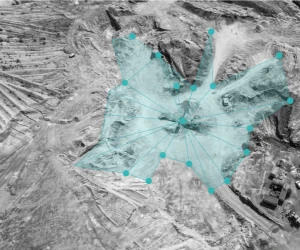
Artisanal and Small Mine Detection
Blog
Detecting clouds in satellite images using convolutional neural networks